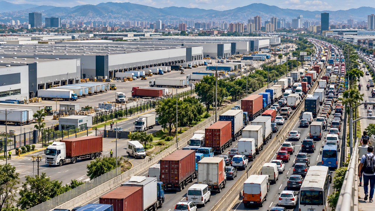
For many years, the choice of location for urban warehouses had more to do with the availability of cheap peripheral land than with any real strategic analysis. Sites were built wherever land was cheapest or most abundant, without considering that the last mile is the most expensive, complex, and inefficient stage of the entire supply chain. Today, thanks to geointelligence, we're facing a paradigm shift: location decisions are no longer improvised — they're becoming a scientific, planned process.
What do we mean by geointelligence applied to urban logistics?
Geointelligence combines geospatial data with advanced analytics and artificial intelligence to make decisions that used to rely on intuition or chance. In urban logistics, it means:
Analyzing where the population lives and consumes to bring inventory closer to the end customer.
Mapping road infrastructure, congestion zones, and traffic restrictions to anticipate problems and avoid them.
Identifying competing urban uses (residential, commercial, industrial) and finding points of balance.
Assessing environmental and social impact to move toward more sustainable logistics.
In other words, geointelligence lets us answer the big question: where should urban warehouses be located so the city works better and logistics becomes more efficient?
From chance to strategy: what changes with data
Applying geointelligence to urban warehouses isn't just about finding available land — it's about cross-referencing layers of information that used to be ignored: consumer density, buying patterns, high-traffic zones, delivery times, road accessibility, and even environmental indicators.
That's the difference between a warehouse that simply occupies a plot of land and one that becomes a strategic node within the city. With properly analyzed data, location stops being a blind bet and becomes a decision with measurable impact: fewer kilometers traveled, lower operating costs, and a more sustainable last mile.
Examples pointing the way
Paris: the metro has become a logistics ally, with pilot projects using stations as microhubs. The site selection wasn't random: mobility, population density, and e-commerce data were cross-referenced to enable lockers and consolidation centers at strategic points.
Barcelona: the planning of its superblocks doesn't just organize traffic — it also creates spaces where housing, retail, and urban microhubs coexist. Geointelligence here makes it possible to integrate logistics into neighborhood life without invading it.
Madrid: projects like Citylogin or Mensos use proximity criteria and traffic data to locate urban warehouses within the central ring, betting on electric vehicles and reducing failed deliveries.
These cases show that location isn't improvised: it's designed with data, with vision, and with the ability to anticipate the city we want to build.
The challenge for our cities
In many Latin American cities, large distribution centers on the periphery are still the priority. This follows classic reasoning: "the land is cheaper." But cheap turns expensive when we're talking about logistics efficiency. Without a network of strategically located urban warehouses, the result is always the same: more congestion, more emissions, higher costs.
Geointelligence gives us the chance to break that cycle. But it demands a cultural shift: understanding that urban logistics isn't just about trucks and square meters, but about how we integrate the city, mobility, technology, and people's lives.
Let's remember
The question is no longer whether we need urban warehouses, but where and how to place them. Moving from chance to strategy means opening the door to logistics that is more efficient, more sustainable, and better aligned with the cities of the future.
Geointelligence applied to urban logistics warehouses is, ultimately, the compass we need to build cities that are more competitive and more livable.