In Zaragoza I ended up walking more than twenty kilometers in a single day.
I hadn't set out intending to.
I simply kept linking places I wanted to see and, as I usually do when I visit a city, I chose to cover a good part of the route on foot.
At one of those moments I looked at the map on my phone to get to the next point.
The distance seemed minimal.
A few hundred meters.
Enough to think: it's right next door.
And I started walking.
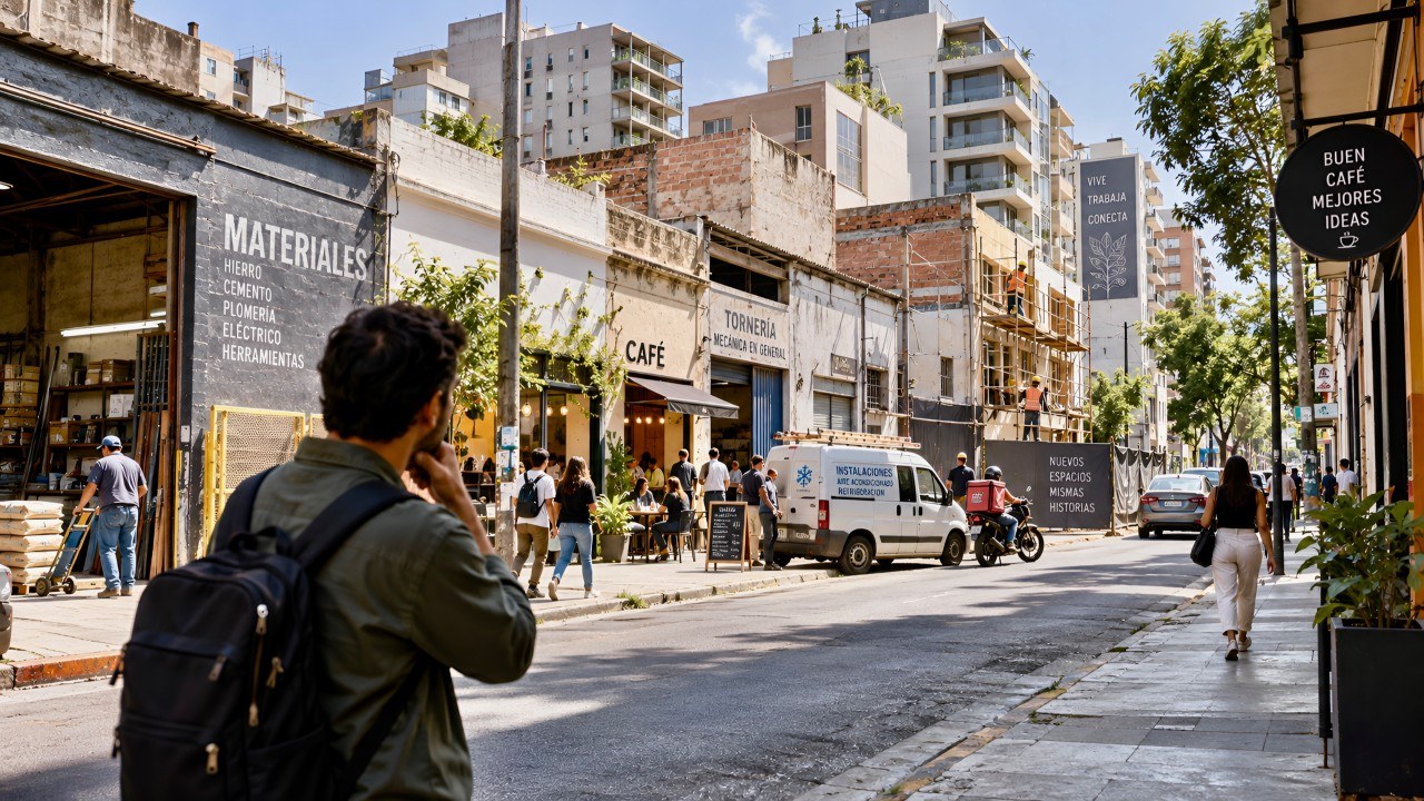
But what the screen said was one thing, and what was happening on the street was quite another.
A crossing that forced me to wait longer than expected.
An entrance that wasn't where it seemed to be.
A route less direct than the map showed.
Nothing extraordinary.
But enough to make me think about something we often take for granted:
what does it really mean for a place to be close?
Maps measure distance. People experience effort.
When we analyze a plot of land, a store or a project, it is normal to work with catchment radii.
300 meters.
500 meters.
800 meters.
They help us understand what exists around a site and how many people might be found within that area.
I use them too.
But walking has taught me something quite simple:
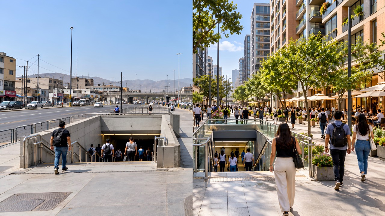
two places separated by the same distance can feel completely different.
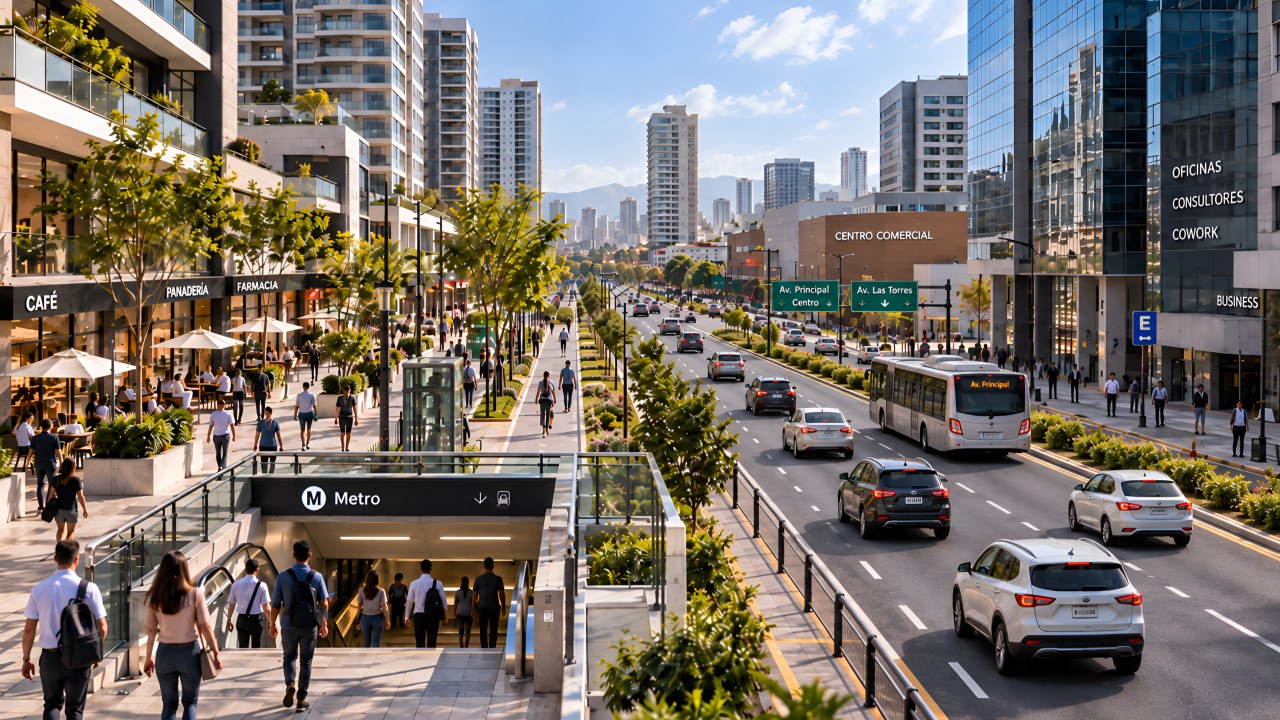
One may have continuous sidewalks, clear crossings, shade, active commerce and direct access.
The other may force you to cross a major avenue, walk alongside blank walls, search for a way through or take a detour the map never led you to imagine.
The meters are the same.
The experience is not.
“It's five minutes away”
You have surely heard that phrase too.
“It's five minutes from the metro.”
“It's two blocks from the shopping center.”
“There are thousands of people within 500 meters.”
And all of that is probably true.
But I am increasingly interested in what comes next.
- Five minutes for whom?
- By which route?
- How many crossings are there?
- Is there a continuous sidewalk?
- Is the entrance on the right side?
- Would an older person, someone with a stroller or a person with reduced mobility cover it the same way?
Because someone who walks doesn't live meters.
They live crossings.
Traffic lights.
Slopes.
Noise.
Shade.
Safety.
Obstacles.
And time.
That is where a location can start to look different.
For retail, that can change a great deal
Imagine two stores.
Both are 300 meters from a station.
On the map they seem to compete on almost equal terms.
But one sits exactly on the natural path of the people leaving the station.
To reach the other you have to cross an avenue, switch sidewalks and walk against the main flow.
Both are still 300 meters away.
But they probably don't have the same commercial value.
That is why counting how many people are around remains important.
Understanding how they actually reach the door can be even more important.
Sometimes the problem with a location is not a lack of demand.
It is the friction between that demand and the point we want to bring it to.
Something similar happens in real estate development
We can say that a project is close to public transport, schools, parks, commerce or services.
And technically it may be true.
But I increasingly think we should run one additional test:
walking those connections.
Setting out from the site.
Going to the station.
Coming back from the shops.
Crossing the avenue.
Covering the route a person will actually take every day.
Because some locations that look extraordinary from above change when you walk them at street level.
And the opposite can also happen.
There are places that look less attractive on a plan, but when you walk them you discover continuity, activity, accessibility and natural routes that aren't immediately visible from a screen.
Perhaps we need to measure something else
Catchment radii are still useful.
I don't think they need to be replaced.
But perhaps we should add another layer.
Not only:
what exists within 500 meters?
But also:
how much effort does a person need to get there?
We could start thinking about something like an effort radius.
Not as a perfect mathematical concept, but as a different way of reading a location.
Because 400 direct, safe and comfortable meters are not the same as 400 meters full of barriers.
And for whoever decides where to invest, develop or open a business, that difference can be worth a lot.
Since then I try to do something very simple
When a location interests me, I don't settle for the plan alone.
I walk it.
But not just around the site.
I walk from the station.
From the main avenue.
From the shops.
From wherever people are actually going to arrive.
And as I do, I try to answer a fairly simple question:
would I cover this route every day?
Because some opportunities look extraordinary from a screen.
Until you try to get there on foot.
And others, by contrast, only reveal their full potential when you walk them at street level.
That is why, every time someone tells me something is “close”, I try not to settle for the meters alone.
I want to understand what lies between one point and the other.
Because often the real distance is not on the map.
It is in the effort it takes to cover it.
How many locations we consider “close” today would stop being so if we covered them on foot?