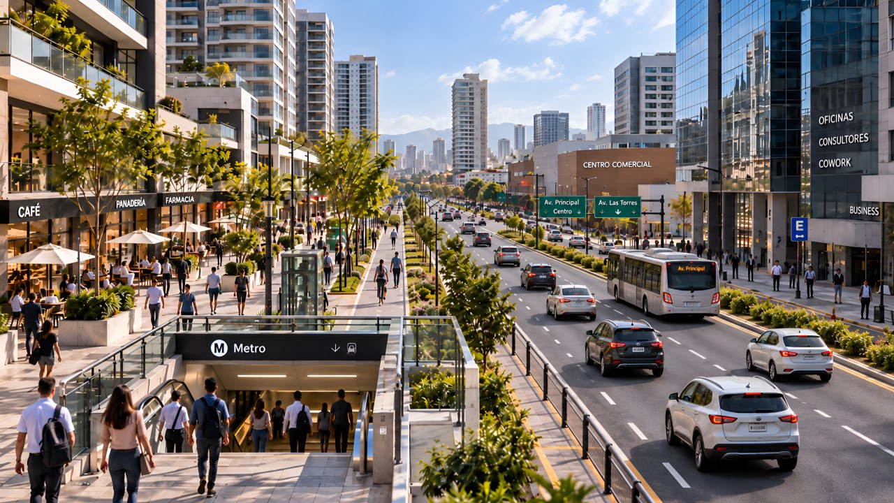
We've never had so much information available to decide where to invest. Today we can know how much a square meter is worth, who lives around a location, how much they spend, how they move, where they shop, what competition exists, what projects are being developed, and what new infrastructure could change the surroundings.
We can even use artificial intelligence to relate variables and find patterns that would have been much harder to detect a few years ago. All of this lets us make better decisions, but it can also lead us to think that, because we have more information about a place, we necessarily understand it better.
And that's not always the case.
After many years visiting land, projects and cities, there's something I still need to do before forming an opinion about a location: walk it and observe what's really happening around it. Not to replace the data, but to test it against reality.
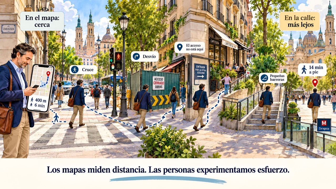
Because surely more than once we've come across a location that looked extraordinary on the map and, once we got there, something wasn't quite working. The station was very close, but walking to it was complicated; there were thousands of people passing by, but no reason to stop; there was spending power around it, but consumption was happening on another street.
That's where the problem starts. We can know perfectly well where people are and still not have understood how they use that place. And that difference can change a real-estate, retail, logistics or investment decision.
People don't behave like points on a map. They come from somewhere, follow certain routes, avoid others, cross, wait, buy, stay, or simply continue on their way. That's why I think that, in addition to the indicators we normally use, we should add some questions when we evaluate a location.
1. WHERE DOES THE FLOW REALLY COME FROM, AND WHERE IS IT GOING?
We can have two locations with similar numbers of people passing in front of them and be looking at completely different opportunities. The movement generated by a transit station isn't the same as that generated by a university, a hospital, offices, housing or a shopping center. Nor is someone who lives there the same as someone who simply passes through on their way to another destination.
That's why counting people still matters, but we also need to understand why they're passing through and what they're doing while they're there. Volume gives us part of the answer; behavior can give us another.
2. WHERE DOES MOVEMENT END AND PERMANENCE BEGIN?
We're used to talking about flow, but we may pay less attention to what happens afterward. A station or an interchange can move thousands of people daily, but if they all leave the place immediately, we're looking at a very different dynamic than one where they find retail, services, public space or reasons to stay.
There's a relationship I find myself paying more and more attention to:
Flow → permanence → activity → consumption → value.
Many places have flow, but not all of them manage to turn it into permanence and activity. For those of us evaluating retail, housing, offices or mixed-use projects, understanding that difference can completely change how we read a location.
3. ARE WE MEASURING DISTANCE OR ACCESSIBILITY?
We've probably all seen a presentation at some point that highlights a project being "300 meters from a station" or "five minutes from an avenue." On the map it can look like an obvious advantage — until we walk those 300 meters.
We might find:
- A road that's hard to cross.
- A physical barrier.
- A poor pedestrian route.
- Lack of continuity.
- A route people prefer to avoid.
Then the meters stop telling the whole story, and what starts to matter is the time, the ease, the safety and the actual quality of the route.
Being close doesn't necessarily mean being connected.
And that difference can be decisive for a real-estate development, a store, an office or a logistics operation.
4. WHAT IS WHAT'S STARTING TO APPEAR AROUND IT TELLING US?
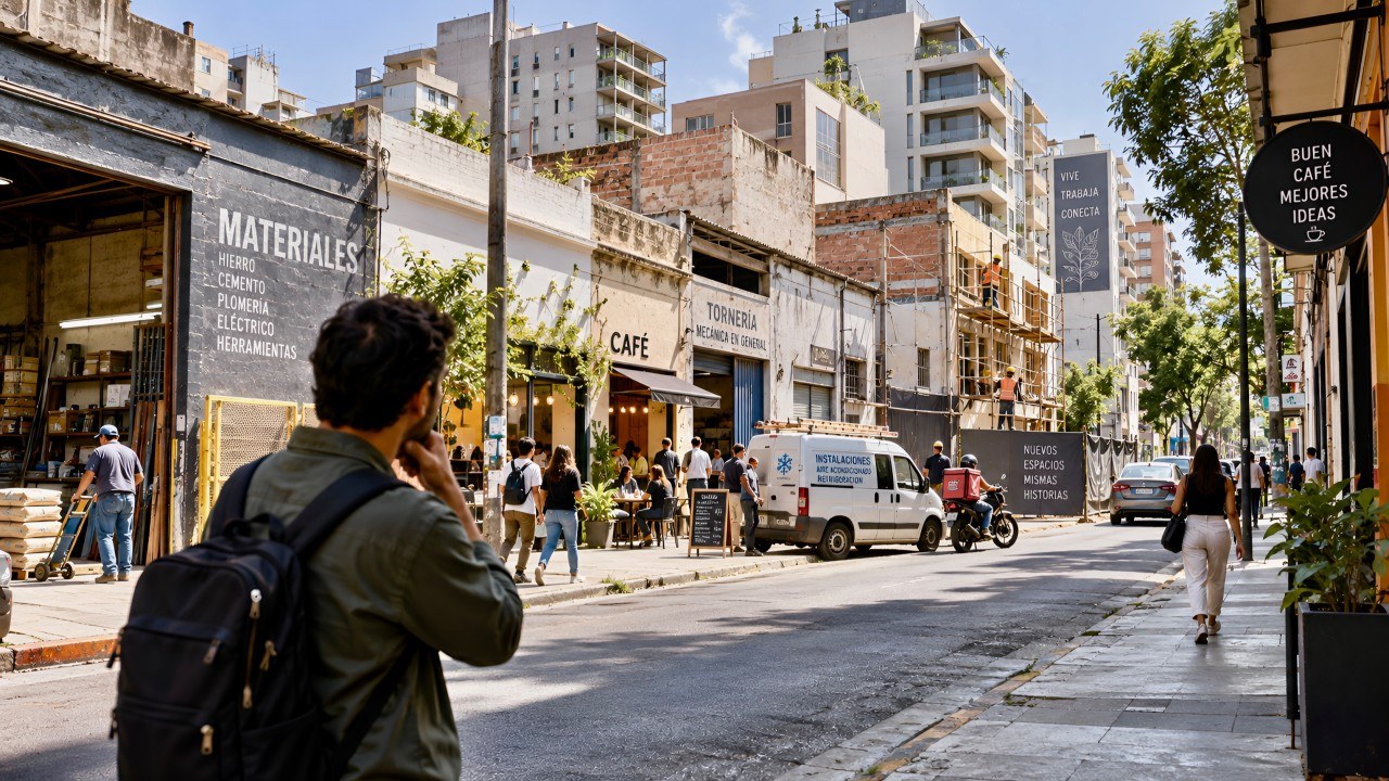
When I walk through an area, I also try to pay attention to what might seem irrelevant: new businesses, services that start to repeat, spaces that start filling up, new forms of mobility, people always waiting at certain points, or storefronts changing use.
A single signal might mean nothing. But when several start to repeat around the same flow, I think it's worth asking what need they're solving and why they're showing up precisely there.
People's behavior can start revealing demand before that demand becomes fully evident in the indicators. It doesn't mean we should invest because a café showed up or a storefront changed; it means we have a signal worth investigating.
5. ARE WE LOOKING AT A PHOTOGRAPH OR A FILM?
A location at 8 in the morning can function completely differently than at 2 in the afternoon, and change again by 7 at night. It can also behave differently on a weekday versus a weekend. A single visit, then, can be just as insufficient as a single data point.
But there's another dimension I find even more interesting: not just observing how a place functions today, but what's starting to change around it.
- New transportation infrastructure.
- Housing appearing where another use used to dominate.
- New services or facilities.
- Regulatory changes.
- Recovery of public space.
- New pedestrian routes.
- Public and private investment.
Individually, they may say little. But when several of these signals start to coincide in the same territory, maybe we're no longer looking at just a good location.
We may be watching an urban transformation in progress.
And here I think we get to something fundamental: walking isn't enough either. We can spend hours covering an area and end up confusing our personal perception with a real trend. Observation is useful for uncovering questions and signals; afterward, we need to verify them.
That's why I always go back to the data and review urban plans, planned infrastructure, regulations, demographics, prices, absorption, mobility, investment, new projects and evolving land use. I try to determine whether what I observed on the street is backed by information and trends that can support it.
There, both perspectives start to complement each other, and a process emerges that I find useful for anyone who has to make decisions about a location:
DATA → OBSERVATION → HYPOTHESIS → VERIFICATION → DECISION
- Data: helps us identify where to look.
- Observation: we walk to understand how the place really functions.
- Hypothesis: we turn what we observed into questions about what might be happening.
- Verification: we go back to the information to check whether there's a real trend behind those signals.
- Decision: we then evaluate the opportunity, but also its risks.
It's not about choosing between technology and the street. We need both, because we can have an enormous amount of information about a location and still not have fully understood how people use it; but we can also walk for hours and get the interpretation wrong.
Data helps us know where to look. Walking the ground helps us better understand what we're looking at. Testing both against each other helps us decide.
Maybe that's one of the differences between finding a good location and recognizing an opportunity before it becomes obvious to everyone.
So the next time we have a plot of land, a possible store, a real-estate development or a new operation in front of us, I think it's worth adding one more question to the analysis:
Have we already tested what our data says against what's really happening on the street?